



| Elementary | HUNTSVILLE EL | F |
| Middle | MANCE PARK MIDDLE | C |
| High | HUNTSVILLE H S CCMR 69% · Grad 85% | D |
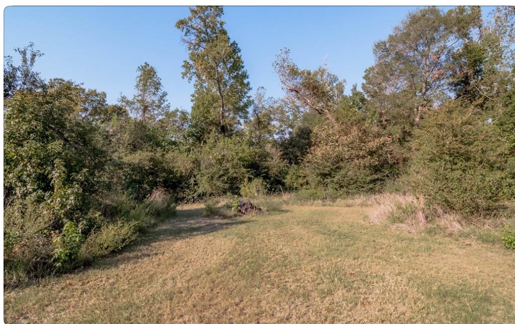
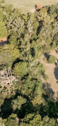
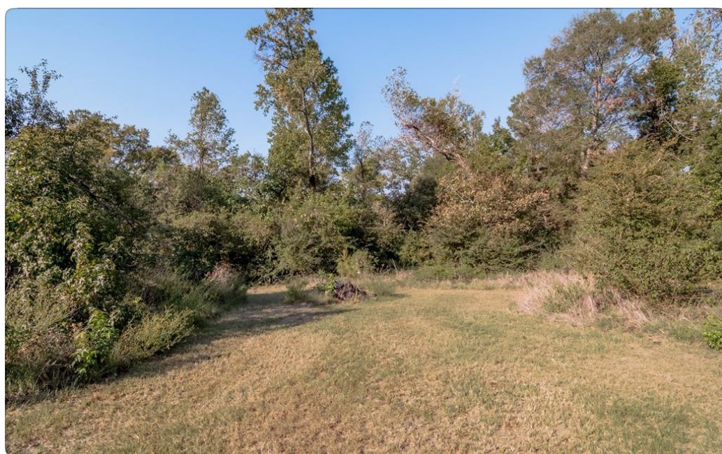
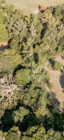
This tract offers 130 feet wide of prime paved State Highway 19 Frontage, 519 feet deep on left side and approximately 506 feet deep on right side, left and right sides are parallel with each other, providing excellent high visibility and access for your Commercial/ Residential venture. Area Utilities on this property includes; community City Water and Sewer, No need for a water well or septic tank with field lines, also telephone services at the site and electricity already on location, streamlining the building process. Legal Description PORTER J (A-38), TRACT 17.1 ACRES, 3.067 ACRES, DIVIDING OUT 1.53+ ACRES
| Property Type | Land |
| Bathrooms (total) | 0 |
| Lot Size (acres) | 1.6000 |
| Lot Size Source | Other |
| County | Walker |
| MLS Area Major | 43 |
| MLS Area Minor | Riverside (Walker) |
| Subdivision | RURAL |
| Postal Code | 77367 |
| Water Source | Public |
| Sewer | Public Sewer |
| Parcel # | 14069 |
| Legal Description | NA |
| Disclosures | None |
Texas Water Code §49.452 requires districts to publish annual notices with tax rate, bonded indebtedness, and assessed value. Most Harris-area MUDs publish these; a handful managed by Inframark do not.
Request this noticeThe §49.452 notice is the only public document that lists a MUD's exact tax rate, outstanding bond debt, and the assessed value used to compute your taxes — direct from the district, not the MLS. If the district is newer or has more bonds outstanding than its neighbors, your effective tax rate will be higher here than just across the street.
Active listing — amenities should populate from the go-live pipeline. Click to fetch now if missing.
 Copyright © 2026, Houston Realtors Information Service, Inc. Deemed reliable, not guaranteed — independently verify.
HARMLS last updated Sep 23, 2026, 11:00 PM CDT. Properties may subsequently be sold or off-market.
Copyright © 2026, Houston Realtors Information Service, Inc. Deemed reliable, not guaranteed — independently verify.
HARMLS last updated Sep 23, 2026, 11:00 PM CDT. Properties may subsequently be sold or off-market.