| Elementary | COLMESNEIL EL | D |
| Middle | COLMESNEIL JH/HS CCMR 46% · Grad 96% | D |
| High | COLMESNEIL JH/HS CCMR 46% · Grad 96% | D |
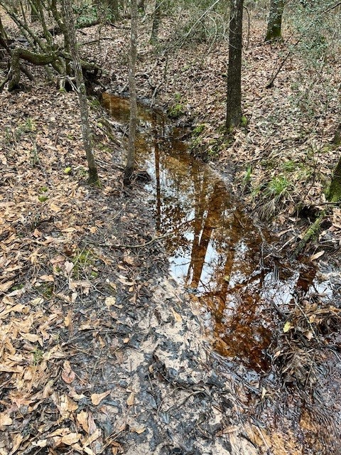
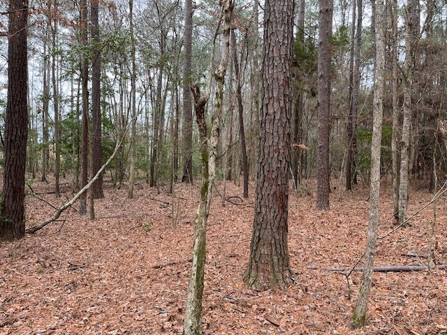
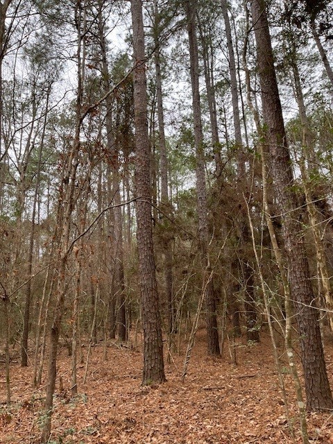
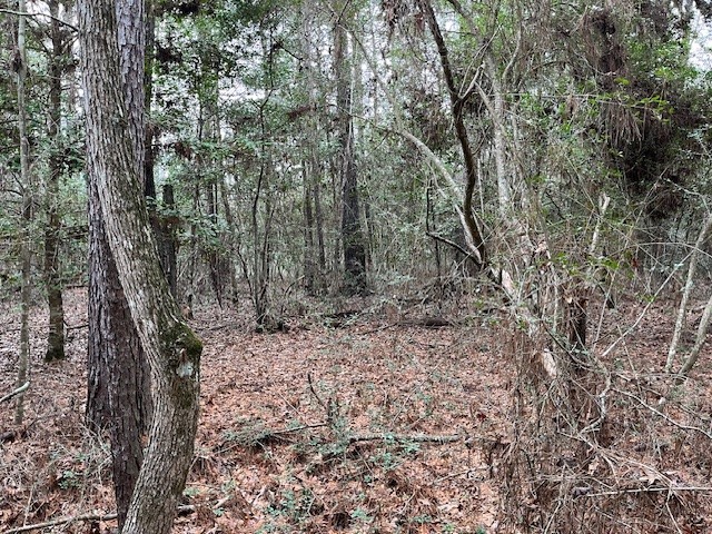
Perfect off-the-grid outdoorsmen's special. Located NW of Colmesneil, TX, the natural pine-hardwood forest offers abundant hunting opportunities. The topography is rolling; elevation ranges from 270 feet above sea level at the northern part of the tract to 315 feet above sea level at the southern. Tanyard Branch runs through the property. Located 1.3 miles behind a locked gate. The tract has no legal easement - must be a cash sale. Access is far down a timber road and crosses other properties.
| Property Type | Land |
| Bathrooms (total) | 0 |
| Lot Size (acres) | 16.3700 |
| Lot Size Source | Survey |
| Lot Features | Rolling Slope, Wooded |
| County | Tyler |
| MLS Area Major | 48 |
| MLS Area Minor | Tyler County |
| Road Surface | Dirt |
| Postal Code | 75938 |
| Water Source | None |
| Sewer | None |
| Parcel # | 26142 |
| Legal Description | 16.36 acres in the W. Hall Survey, Abstract 827 |
| Listing Terms | Cash |
| Disclosures | None |
Texas Water Code §49.452 requires districts to publish annual notices with tax rate, bonded indebtedness, and assessed value. Most Harris-area MUDs publish these; a handful managed by Inframark do not.
Request this noticeThe §49.452 notice is the only public document that lists a MUD's exact tax rate, outstanding bond debt, and the assessed value used to compute your taxes — direct from the district, not the MLS. If the district is newer or has more bonds outstanding than its neighbors, your effective tax rate will be higher here than just across the street.
Active listing — amenities should populate from the go-live pipeline. Click to fetch now if missing.
 Copyright © 2026, Houston Realtors Information Service, Inc. Deemed reliable, not guaranteed — independently verify.
HARMLS last updated Sep 23, 2026, 11:00 PM CDT. Properties may subsequently be sold or off-market.
Copyright © 2026, Houston Realtors Information Service, Inc. Deemed reliable, not guaranteed — independently verify.
HARMLS last updated Sep 23, 2026, 11:00 PM CDT. Properties may subsequently be sold or off-market.